The Walk: From the centre of Croydon, the walk goes South-East through parks and open spaces to the suburb of New Addington, climbing to the Addington Hills viewpoint along the way. (This walk is based on the 'Seven Hills of Croydon' walk described in the book 'Hillwalking London' by Caroline Buckland, Safe Haven Books, 2023.)
Map
NB The map shows my GPS track, with various diversions and excursions which you may not wish to follow precisely.
Why do it: This walk follows a surprisingly green corridor through the urban surroundings of South London, climbing several hills along the way, including the Addington Hills from which there is a panoramic view northwards, embracing the 'skyscrapers' of Croydon, the Crystal Palace and Croydon transmitter towers, and beyond, Central London and Docklands.
 |
| View of Croydon 'skyscrapers' from Addington Hills Viewpoint |
The walk traverses several parks and woodlands: Park Hill, Lloyd Park, Coombe Park, Coombe Wood Gardens, Addington Hills ( a surviving area of heathland), Heathfield House, Bramley Bank, Littleheath Woods, Selsdon Wood and Frith Wood.
The route crosses the unique (for London) Croydon Tramlink several times (and uses the tram to return to the start). The tram line between Croydon and Wimbledon follows the route of the historic horse drawn railway (c1800).
 |
| Tram line crossing at Coombe Woods |
Distance: 9.5 miles
Logistics: Croydon can be reached by train to either the West or East Croydon stations, or by tram from Wimbledon station (East Croydon station stop).
Get the tram back to Croydon from New Addington.
You pass several tram stops along the way if you wish to shorten the walk.
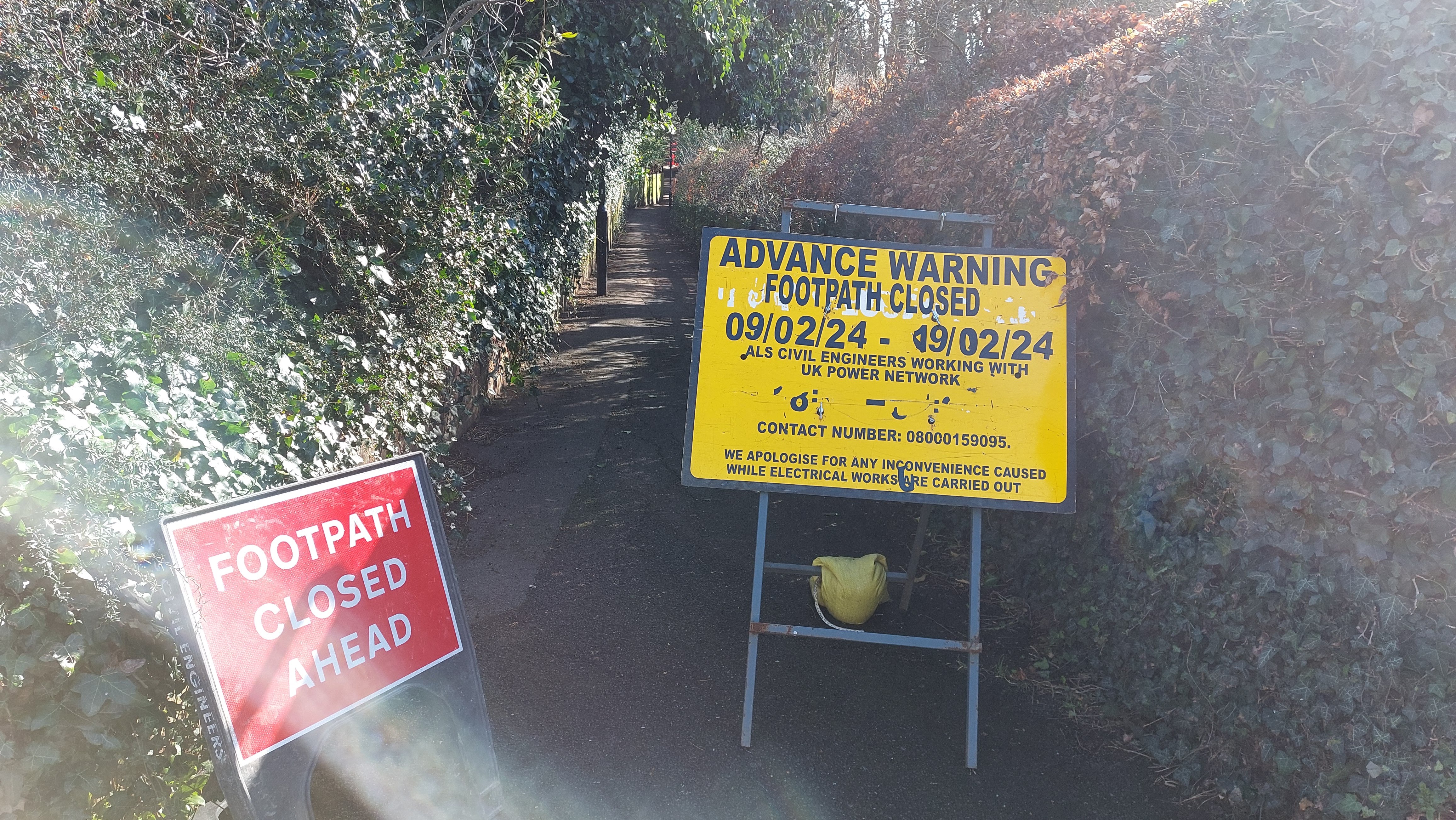
Challenges: Check the web for latest train and tram information: when I did the walk, the tram line was closed through the centre of Croydon for maintenance, and also the footpath crossing the tram line to reach Lloyd Park was closed to allow electrical work, necessitating a diversion on roads.
Navigation was reasonably straightforward, although the Addington Hills Viewpoint was surprisingly difficult to find. The route broadly follows the Vanguard Way and and later the London Loop path, the signs for which are useful, although the route (see Google map above) does deviate somewhat in places.
The final climb to reach New Addington is surprisingly steep.
Refreshments: There are the usual eateries in Croydon (I liked the Clocktower Community Cafe). There are cafes in Park Hill (may be temporarily closed, Feb 2024) , Lloyd Park and Coombe Woods Garden.
 |
| Clocktower community cafe |
Nearby Walks
For a walk (or cycle ride) following the Capital Ring path through Crystal Palace, see this post and this post on my companion cycling blog.
Photos
February, bright sunny day
 |
| On this day, the tram from Wimbledon terminated at Reeves Corner |
 |
| Croydon street market |
 |
| Clocktower |
 |
| Croydon |
 |
| East Croydon station under renovation |
 |
| View from Park Hill |
 |
| Park Hill water tower (might reopen as viewpoint when repairs complete) |
 |
| Park Hill |
 |
| Park Hill walled garden |
 |
| Path from Park Hill |
 |
| Footpath linking to Lloyd Hill closed |
 |
| Tramlink |
 |
| Lloyd Park |
 |
| Coombe Park |
 |
| Cross the tram line again |
 |
| Coombe Wood Gardens |
 |
| Cafe at Coombe Wood |
 |
| Addington Hills woodland (easy to get lost) |
 |
| The Addington Hills viewpoint (at last) |
 |
| Croydon 'skyscrapers' |
 |
| Docklands |
 |
| Croydon and Crystal Palace transmitter towers |
 |
| Coombe Lane tramline crossing |
 |
| Signs for London Loop |
 |
| Heathfield House |
 |
| View towards New Addington |
 |
| Heathfield House gardens |
 |
| Heathfield House walled garden |
 |
| Heathfield House walled garden |
 |
| View from Bramley Bank woods |
 |
| Signs for London Loop and Vanguard Way |
 |
| Littleheath Woods |
 |
| Path climbing beside Farleigh Court Golf Course |
 |
| Path beside Addington Court golf course |
 |
| Path climbing to New Addington (steeper than it looks) |
 |
| Tram at New Addington |


Comments
Post a Comment