The Walk: The walk follows the coast path through the MoD Ranges between Lulworth Cove and Kimmeridge, then ascends across the Ranges to the Isle of Purbeck Viewpoint car park on Grange Hill
Map
NB The map shows my GPS track, with various diversions and excursions which you may not wish to follow precisely.
UPDATE MAY 2025: A cliff collapse has blocked the route along Lulworth Cove beach. You must use the official route of the South West Coast Path (RED route), which itself has been diverted back up the road towards Lulworth Village and Bindon Road.
Why do it: Picturesque Lulworth Cove. Fossil forest on the ledges at the start of the clifftop path. Fine Jurassic Coast scenery, with a succession of high cliffs and bays, the overhanging Gad Cliff being particularly striking. Relatively quiet and remote coast due to the limited access - the exception being Worbarrow Bay: many visitors park at the abandoned village of Tyneham and walk down for a day at the beach. Sheltered Kimmeridge Bay, which has a nodding-donkey oil well, rock ledges and a Marine Special Conservation Area. Isle of Purbeck viewpoint in the Grange Hill car park.
Distance: 11 miles (plus a similar cycle ride down hill most of the way)
Logistics: This walk is only possible when the MoD Ranges are open - search online for 'Lulworth Range Walks'. Here are the2023 times, on a notice at Kimmeridge Bay.
There is no convenient public transport, here are some options:
- I did this walk by putting my bike in my car, parking at the free 'Isle of Purbeck Viewpoint' car park on Grange Hill, cycling down to Lulworth Cove, locking my bike there at the Visitor Centre, walking back to the start, and finally driving back to Lulworth Cove to collect my bike (be quick collecting your bike to avoid paying for parking)
- As above, but from the car park in the Old Quarry above Kimmeridge.
- Do a circular between Lulworth Cove and Kimmeridge Bay (possibly including the inland paths for variety) (long day)
- Press on along the coast to Kingston, where you could pick up the Jurassic Breezer bus (40) to Wareham, then the 30 bus to Lulworth Cove (another long day)
- Park at Tyneham village (open when ranges are open), and do a Westward loop to Lulworth Cove and an Eastwards loop to Kimmeridge (yet another long day)
- Book a taxi
- Phone a friend
Challenges: Being sure the Ranges are open - see 'Logistics'. Do not stray from the official paths (marked either side by yellow posts) - there may be UXB around.
Crowds at Lulworth Cove (few venture far East from the beach, though many trek West over to Durdle Door). My route walks along the Lulworth Cove beach and makes a steep scrambly ascent up to the Eastern headland, which could be avoided by following the official coast path. There are then several steep ascents and descents down to and up from the various bays along the way.
UPDATE MAY 2025: A cliff collapse has blocked the route along Lulworth Cove beach. You must use the official route of the South West Coast Path (RED route), which itself has been diverted back up the road towards Lulworth Village and Bindon Road.
 |
| Cliff fall blocking the beach |
You may lose mobile phone reception: not a problem in itself, but it has two drawbacks (a) my phone reset it's clock to one hour ahead, so my photos get out of sequence (b) I found myself connected to Vodafone Guernsey, with potential roaming charges. Can be avoided by (a) synching the clock to GPS location (b) going into Flight mode. First World Problems!
Refreshments: Many possibilities in Lulworth Cove and village. Cafe in Tyneham (off route, check details online). Snack shack at Kimmeridge Bay, and Clavell's Cafe in Kimmeridge village (slightly varying the route shown on the map to go through the village.) There is sometimes a 'pop-up' refreshments marquee at the Grange Hill car park.
Nearby Walks
For an overview map of all my coast walks see this page.
All my Purbeck walks are listed here.
To the West: Weymouth to Lulworth Cove
To The East: Kingston -Kimmeridge Circular.
Photos
 |
| Gad Cliff |
 |
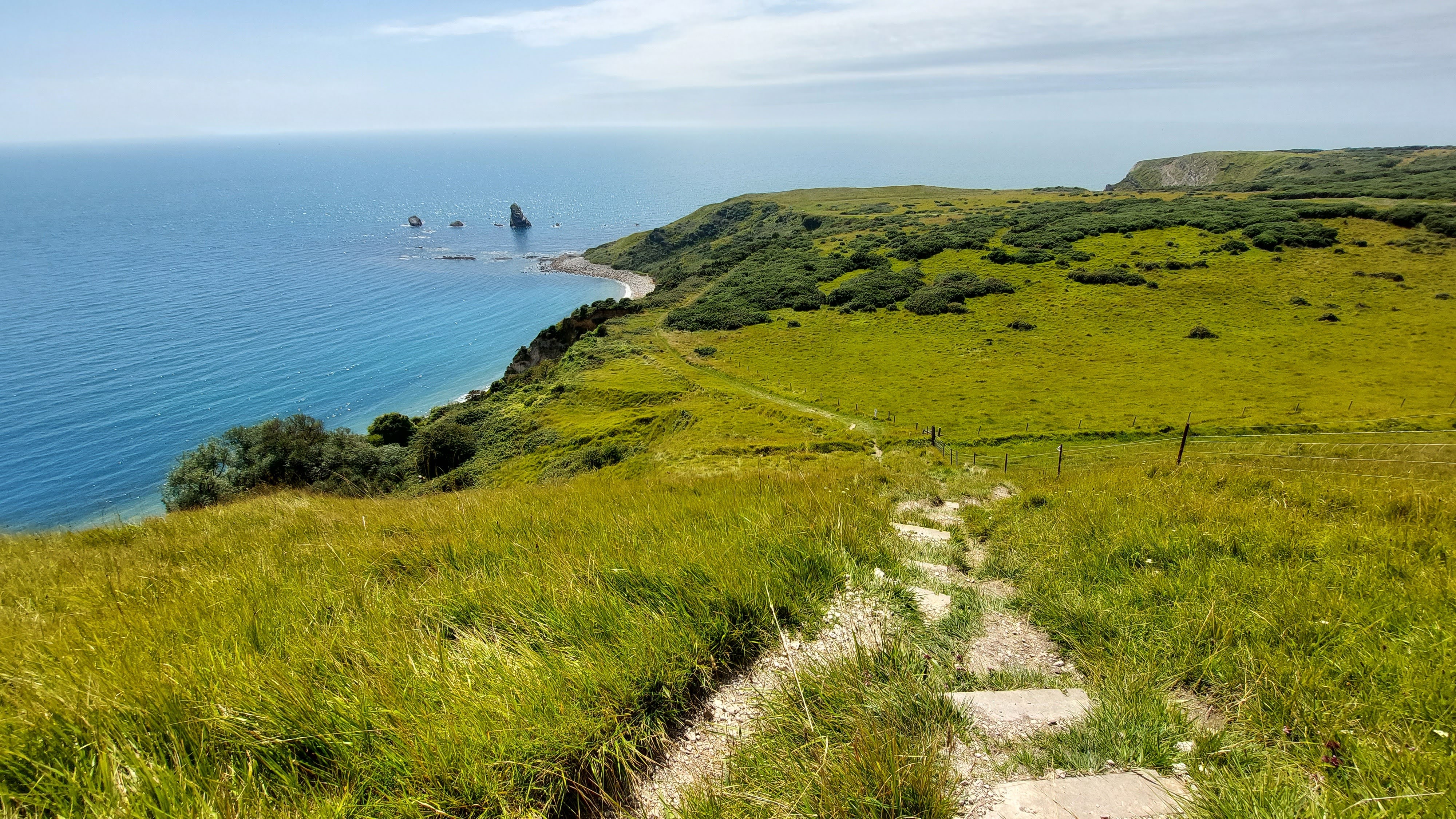
| Isle of Purbeck Viewpoint looking coastwards |
 |
| Isle of Purbeck Viewpoint looking inland (Poole Harbour in distance) |
 |
| Lulworth Cove |
 |
| Entry gate to Ranges |
 |
| Lots of steps! |
 |
| Fossil Forest Info Board |
 |
| Steps down to Fossil Forest ledge |
 |
| The blobs were formed by algae (most of the obvious tree trunk fossils were removed by Victorian trophy hunters) |
 |
| Range control station |
 |
| Isle of Portland on the horizon |
 |
| Mupe Rocks |
 |
| There are lots of warning signs |
 |
| Mupe Rocks |
 |
| Mupe Bay |
 |
| Steep climb ahead: Bindon Hill |
 |
| Looking back to over Mupe Bay |
 |
| Steep paths |
 |
| The Ranges behind the coast |
 |
| Arish Mell bay (Flowers Barrow beyond) |
 |
| Looking back on Arish Mell (the cabins are DSMC - a commercial diving operation) |
 |
| The ranges are used for live tank firing: this one obviously went badly wring |
 |
| Climbing to Flowers Barrow |
 |
| Lulworth Castle |
 |
| Looking back over the Ranges |
 |
| Worbarrow Bay and Tout |
 |
| A Barrow on Flowers Barrow |
 |
| Looking back to Mupe Bay |
 |
| Worbarrow Bay |
 |
| Worbarrow Bay is accessible from Tyneham Village |
 |
| Looking back |
 |
| On Gad Cliff |
 |
| From Gad Cliff towards Hobarrow Bay |
|
| Looking back on Gad Cliff |
 |
| Gad Cliff |
 |
| Looking back on Gad Cliff |
 |
| Ledges at Hobarrow Bay |
 |
| Ledges at Hobarrow Bay |
 |
| Clavell's Tower in the distance |
 |
| Exit gate from Rnages |
 |
| Kimmeridge Ledges and Clavell's Tower |
 |
| Nodding Donkey Oil Well |
 |
| Kimmeridge Bay |
 |
| Path ascends through Range (I was assured by a Range Warden that I could ignore the red flag - "it's just there to remind people that there is unexploded ordnance around": seems a confusing message, normally means 'keep out') |
 |
| Rather rough track at Steeple Leaze Farm |
 |
| Track on final climb to car park |


Comments
Post a Comment